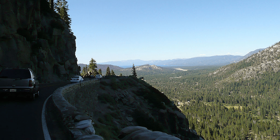
Travel Ebbetts Pass Scenic Byway and experience glacially carved valleys and canyons, ancient volcanic peaks, and rugged granite snow-capped ridges. Two State Park gateways feature the northernmost groves of giant sequoias in the U.S. Driving on this narrow asphalt ribbon brings the backcountry up close, renewing spirit and body.
Drive the Ebbetts Pass Scenic Byway:
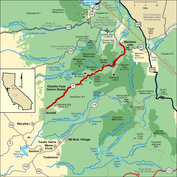
Begin your drive in Arnold, California on SR 4. Travel northeast to the end of SR 4 at the junction of SR 89 in Alpine County. Continue north on SR 89. End at the town of Markleeville.
About Markleeville, California:
Markleeville is a census-designated place (CDP) and the county seat of Alpine County, California. The population was 191 at the 2020 census.
Jacob J. Marklee founded a toll bridge crossing the Carson River in 1861. He aimed to tap into the traffic from the silver mining boom at Silver Mountain City. On June 23, 1862, he recorded a land claim of 160 acres in Douglas County, Nevada. A boundary survey took place, and the property ended up being in California. In 1863, Marklee died after being involved in a gunfight. When the Comstock Lode discovery took place, the town of Markleeville was founded on the Marklee property. Today, the Alpine County Courthouse sits on the former property, which is listed as a California Historical Landmark. (wikipedia)
Length: 61.0 mi (98.2 km)
Time: Allow two hours to drive or five hours to explore the byway.
Fees: None
